


We understand that our clients in the design and build industry (architects, civil engineers, and related professionals) need more than a standard topographic map. Therefore, we created TopoSure to accommodate their actual needs.
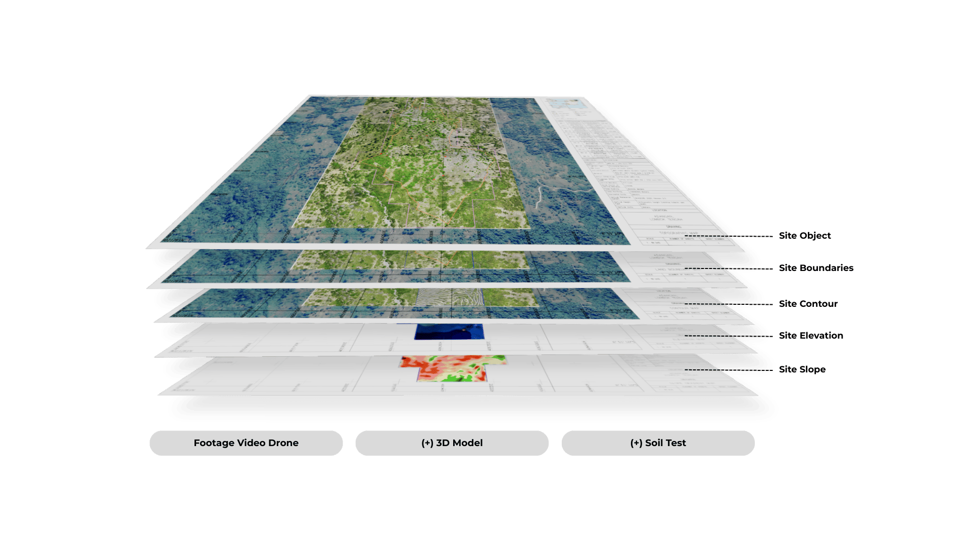
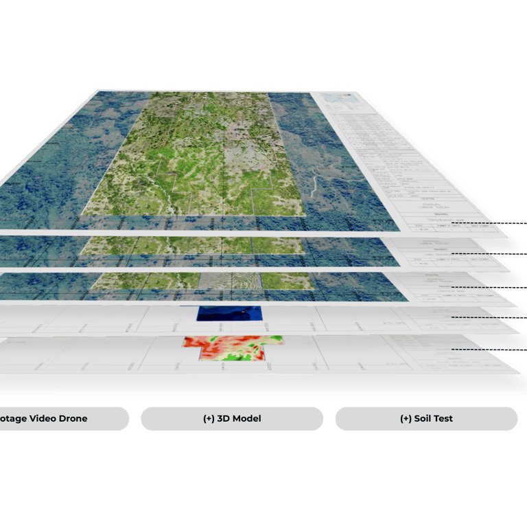
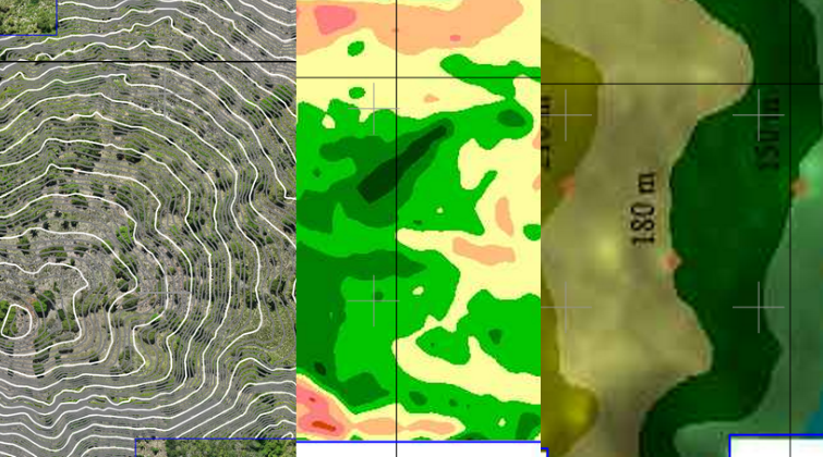
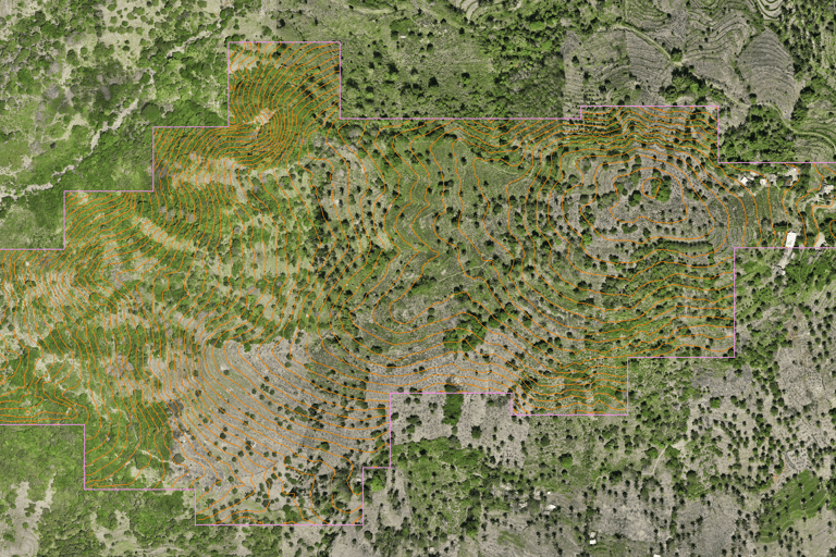
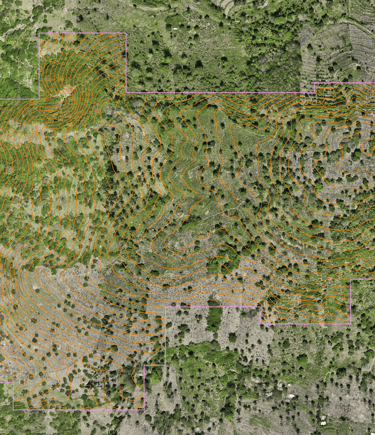
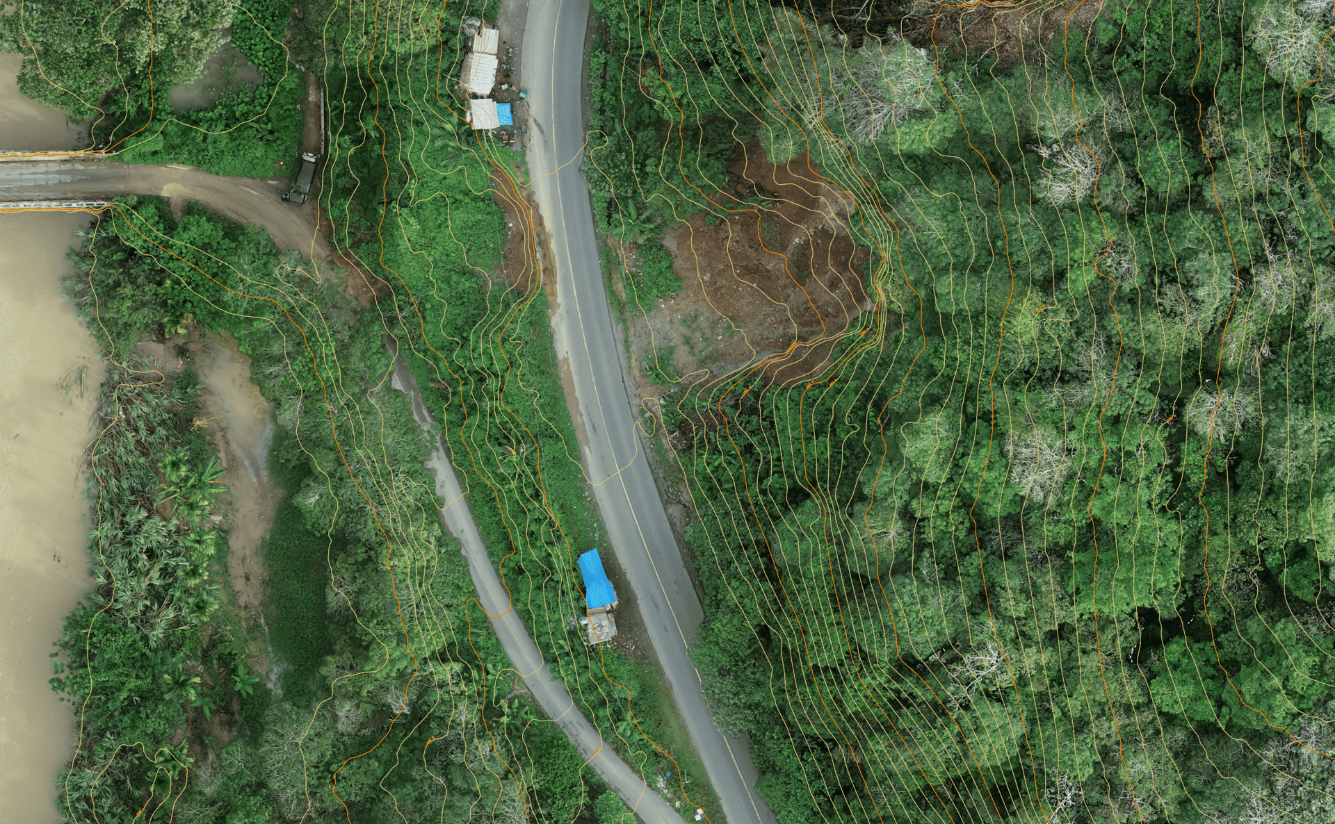
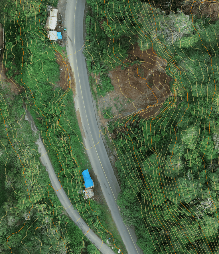
Unlike conventional topographic maps that only show site contours, TopoSure provides comprehensive site information, including site boundaries, contours, elevation, slope, and detailed documentation of all site objects (along with photos, accurate positioning and measurements, 3D models, and soil testing) combined in a single integrated package called TopoSure.
Site Boundaries
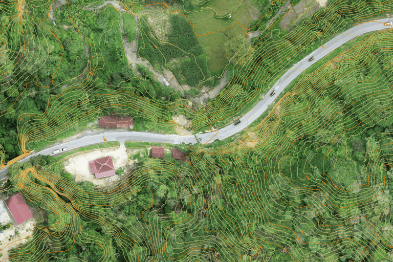
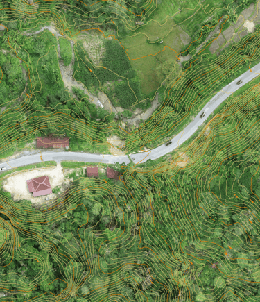
Site Contour, Elevation, & Slope
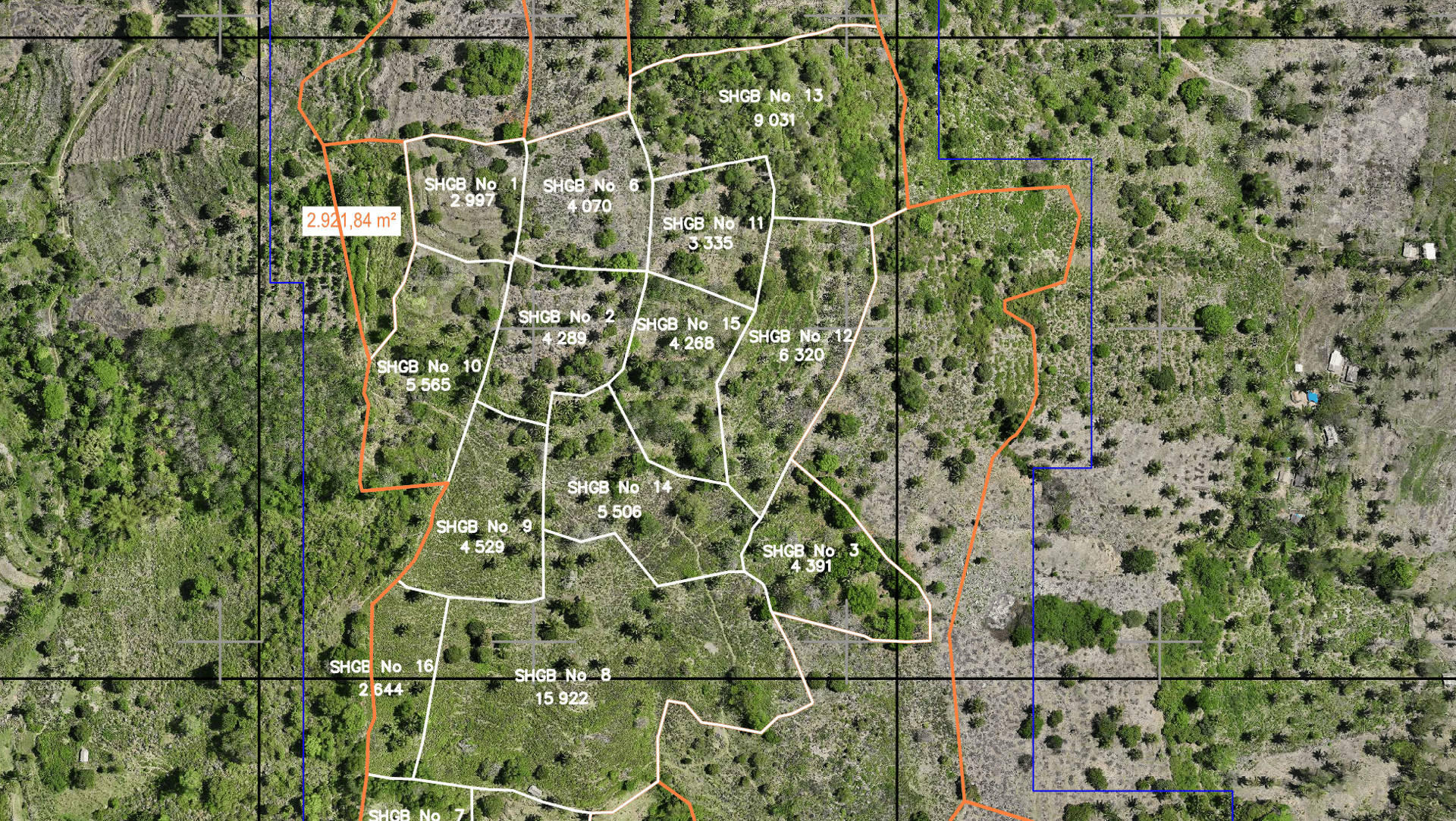
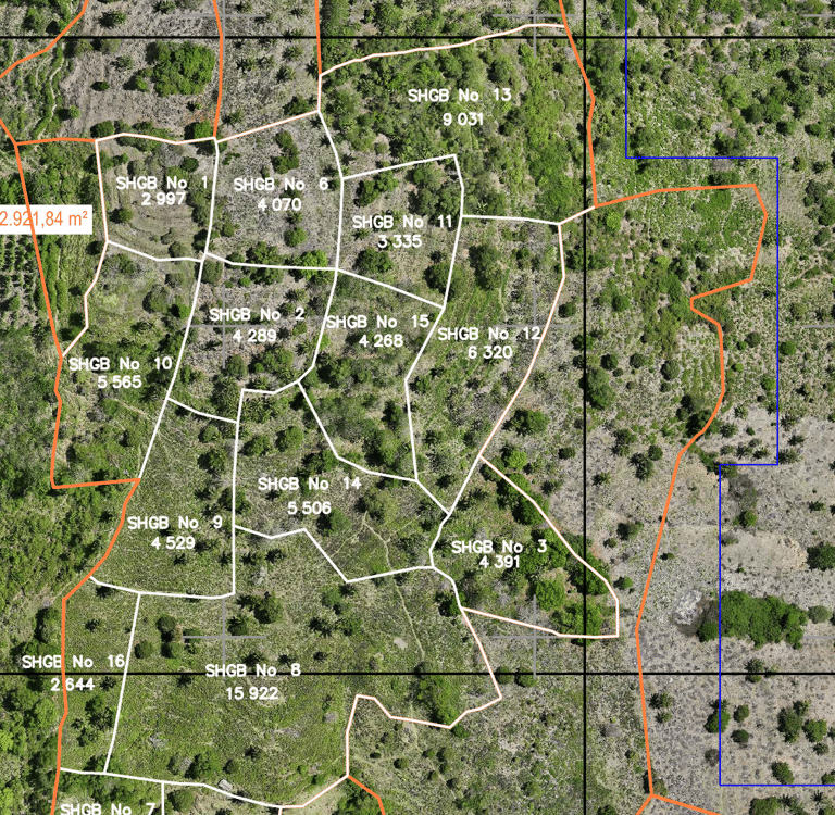

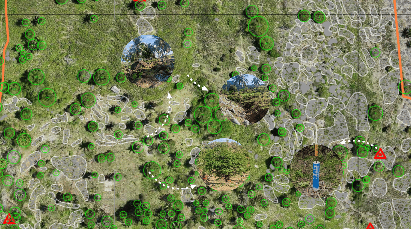
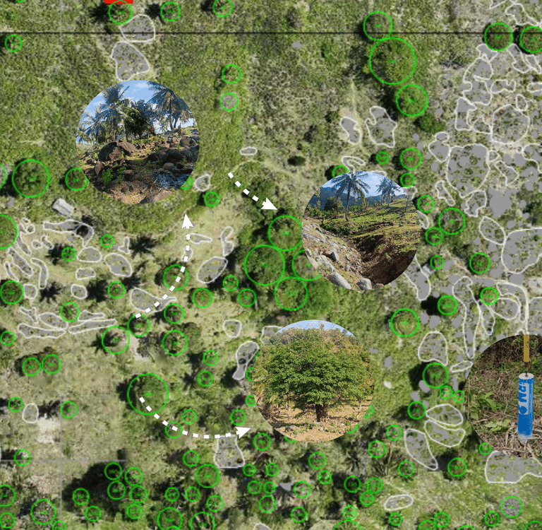
Site Objects
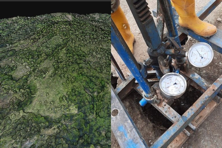
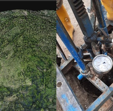
Adds On: 3D Modeling & Soil Test
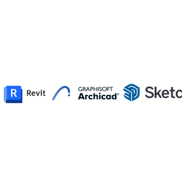
The map will be compatible with your design software, including but not limited to:

PORTFOLIO
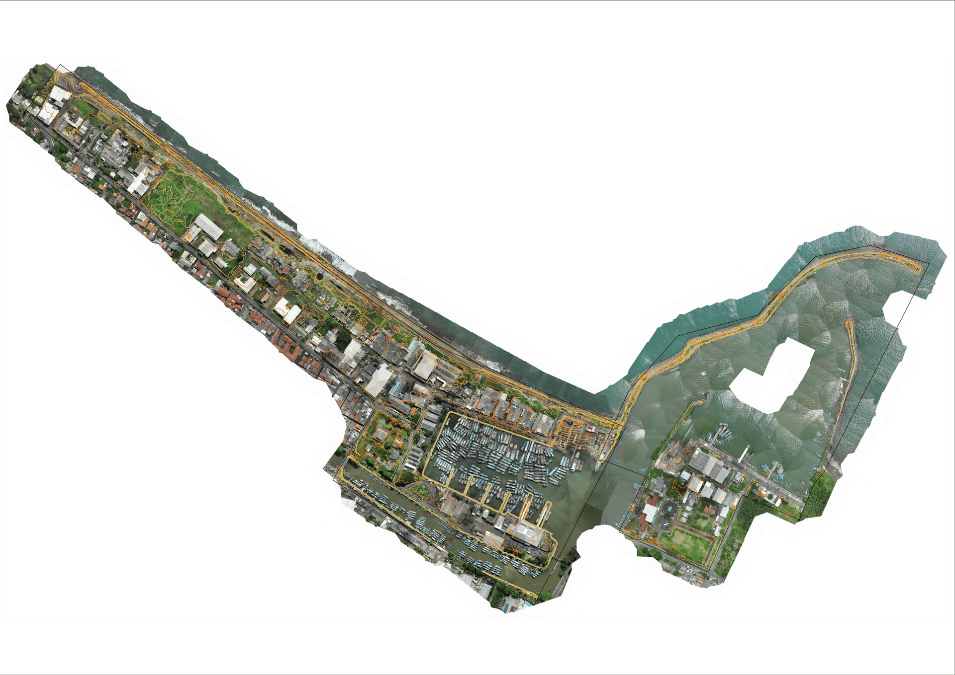
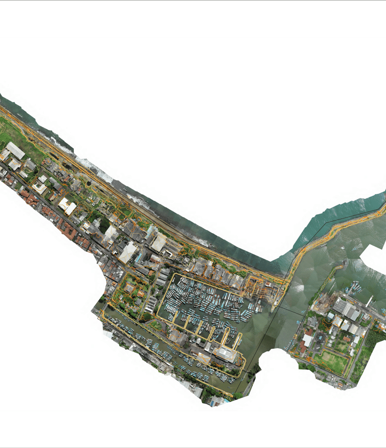
PAHAE JULU, SUMATRA UTARA
LOMBOK TENGAH, NUSA TENGGARA BARAT
SIMANGUNBAN, SUMATRA UTARA
KABUPATEN CILACAP, JAWA TENGAH


Andra Matin
Architect of xxx
"TopoSure sangat memudahkan proses desain, tidak perlu lagi panas-panasan cek site. Tapi seluruh data yang diperlukan tersedia dengan akurasi yang sangat tinggi."
Andra Matin
Owner of Black Well
"Sekarang saya bisa lihat seluruh objek pada site saya, ditambah dengan nama objek tersebut, ukurannya, dan fotonya, sangat memudahkan desain. Sekarang desain saya bisa sangat sesuai dengan keadaan site."
MapSureiiiii, your trusted Geospatial Survey partner.
Our Commitment


SURE MAPS
EASY WORKS
LIFETIME ASSURANCE
Every map produced by MapSure is built with verified accuracy, clear information, and defined technical specifications. We stand behind every detail we deliver, so you can rely on our maps to support real decisions, not assumptions.
You are not just buying a map, you buy a map that make your work easier. MapSure’s products are designed from the client’s perspective to simplify workflows, address real pain points, and help you focus on what truly matters. Our maps are made to work for you, not the other way around.
All MapSure maps come with Lifetime Assurance (T&C applied). This means you can revise and update your maps FOREVER, ensuring they remain relevant, useful, and actively used in decision-making, not just created as a formality.
MapSure is a geospatial survey company, providing geospatial information to support businesses and governments in Indonesia. Lead by geospatial expert with 20+ years of experience, handled projects across many industries.
Company Profile

or you can download our company profile for more detail information about MapSure


Our Team Portfolio


Asep Hadiyana S.
Founder & Geospatial Expert of MapSure